Bujumbura, Burundi

Projects

Application references linked to BRSC services

The client-supplied service information connects each application reference to one BRSC service.

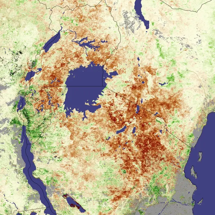
Satellite-derived vegetation anomaly map of East Africa
Service 01

Agricultural monitoring for food security.

Remote Sensing

BRSC provides advanced remote sensing services using satellite imagery to monitor land, water, and environmental resources. Our expertise ensures accurate data collection and analysis for national development.
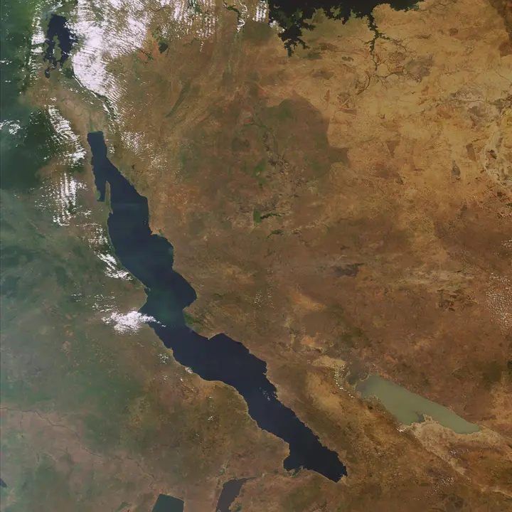
Satellite view of Lake Tanganyika and the surrounding region
Service 02

Urban growth monitoring in Bujumbura.

GIS & Digital Mapping

We deliver comprehensive GIS solutions and digital mapping services to support planning, infrastructure development, and resource management.

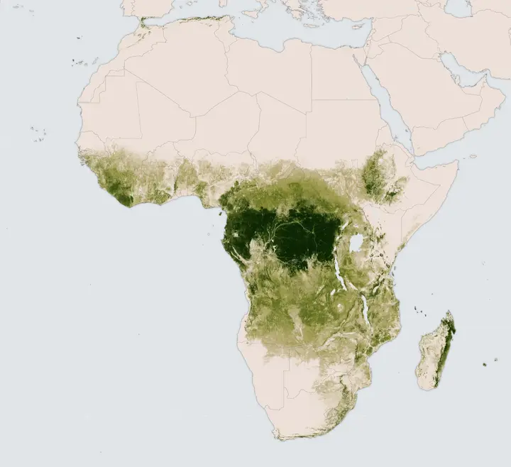
Satellite-derived map of tree height across Africa
Service 03

National deforestation monitoring program.

Environmental Monitoring

BRSC monitors ecosystems, land degradation, pollution, and climate-related impacts using geospatial technologies.

Satellite image showing fires across Eastern Africa
Service 04

Flood risk mapping for Lake Tanganyika basin.

Disaster Management

We provide geospatial support for disaster preparedness, risk assessment, and emergency response.