 01
01Remote Sensing
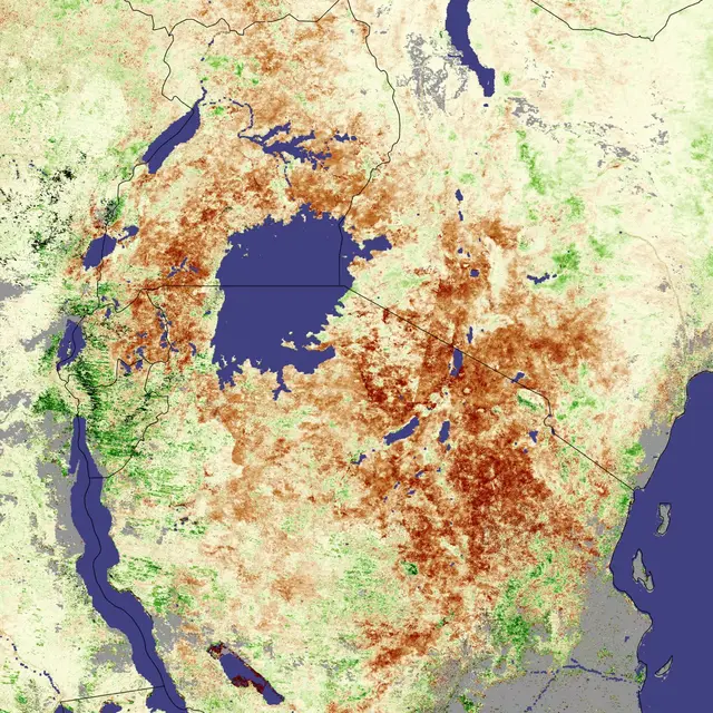
BRSC provides advanced remote sensing services using satellite imagery to monitor land, water, and environmental resources. Our expertise ensures accurate data collection and analysis for national development.
View service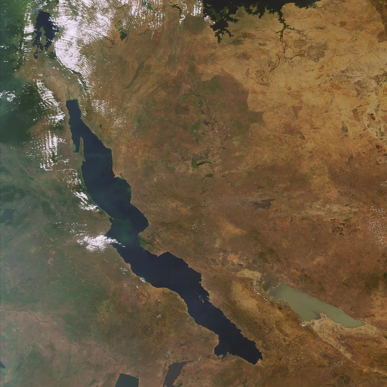
Burundi Remote Sensing Center
Burundi Remote Sensing Center (BRSC) is a government institution dedicated to providing advanced satellite imagery analysis, GIS mapping, and geospatial solutions. Established to support national development, the center delivers services in agriculture, environment, water resources, and disaster management. With cutting-edge technology and expert staff, BRSC ensures reliable data for decision-making and sustainable growth.
About BRSC
Burundi Remote Sensing Center (BRSC) is a government institution established to provide advanced satellite imagery analysis, GIS mapping, and geospatial solutions. The center plays a vital role in supporting agriculture, environment, water resources, urban planning, and disaster management, ensuring that Burundi has access to reliable geospatial solutions for sustainable development.
Learn about our mandateOur services
From satellite observation to practical mapping, BRSC supports evidence-based decisions across essential sectors.
01BRSC provides advanced remote sensing services using satellite imagery to monitor land, water, and environmental resources. Our expertise ensures accurate data collection and analysis for national development.
View service 02
02We deliver comprehensive GIS solutions and digital mapping services to support planning, infrastructure development, and resource management.
View service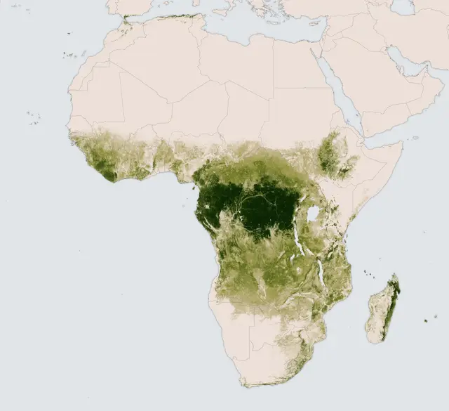 03
03BRSC monitors ecosystems, land degradation, pollution, and climate-related impacts using geospatial technologies.
View service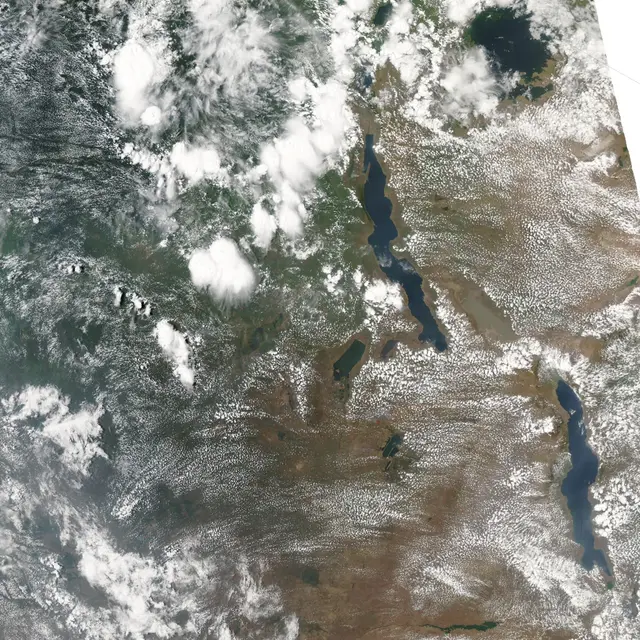 04
04We provide geospatial support for disaster preparedness, risk assessment, and emergency response.
View serviceOur mission
Providing reliable geospatial data and advanced remote sensing services to support government institutions, researchers, and private sector partners in Burundi.
Application areas
BRSC’s supplied profile connects each service to a practical national application.
View application referencesWork with BRSC